Work from Anywhere: Southern Kruger
With no date to return to the office we decided to make the most of “working from home”. We’ve spent over a year working from our spare room and dining room. We were desperate for a change of scenery. All we needed was reliable cell phone signal and a plug point.
We chose Southern Kruger because it is only 4.5 hours from Johannesburg on the highway - close enough to escape home if something wasn’t working. It also had good LTE coverage.
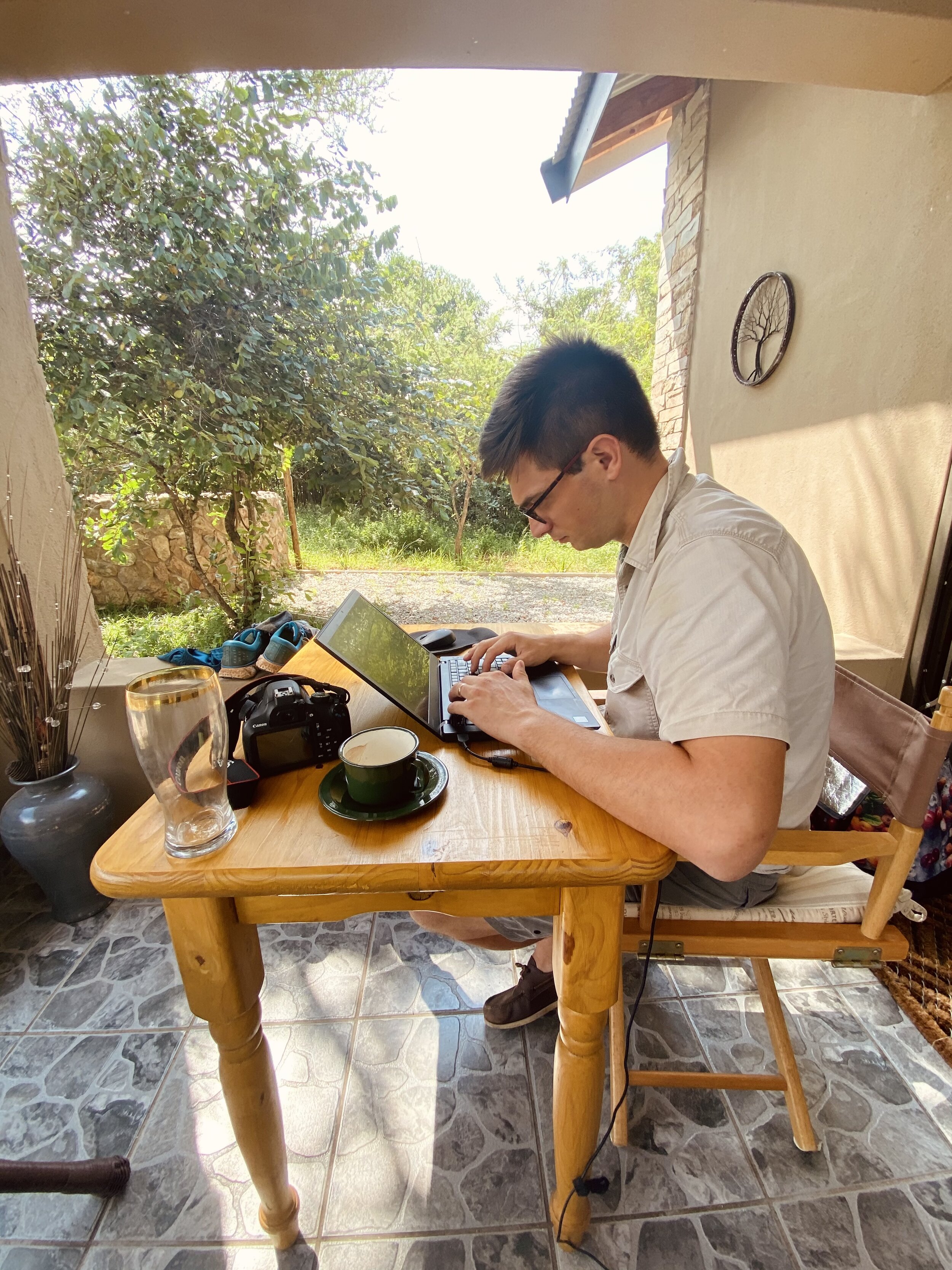
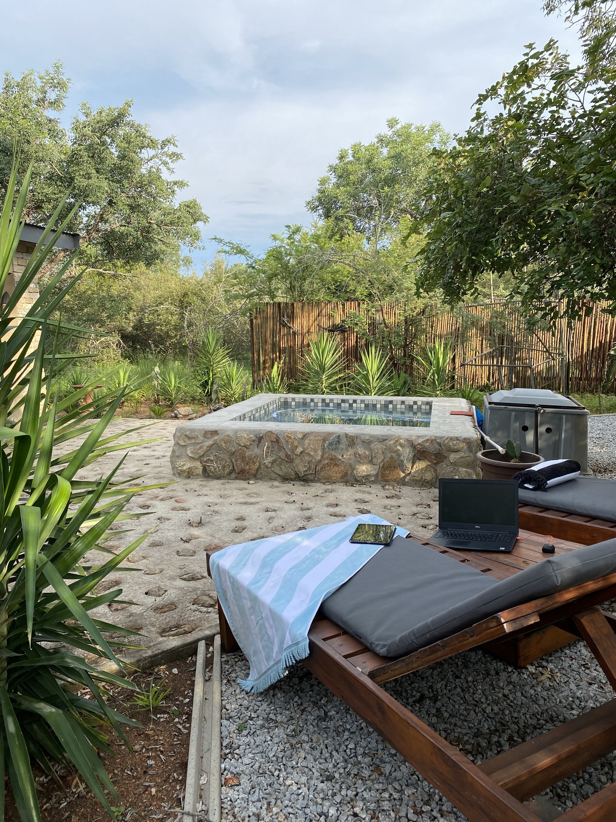
We had a 4am wake up call on a Tuesday and hit the road. We arrived mid-morning at an AirBnB cottage in Marloth Park. We jumped on to our laptops for the day, enjoying the view of the pool and bush.
Marloth Park would not be a normal spot for us to visit. It is made up of an interesting mix of dilapidated holiday homes that look like they have not been visited since the 1970s and more modern over the top bush homes made of face-brick. (Ben: The South African obsession with face-brick is something I will never understand.)
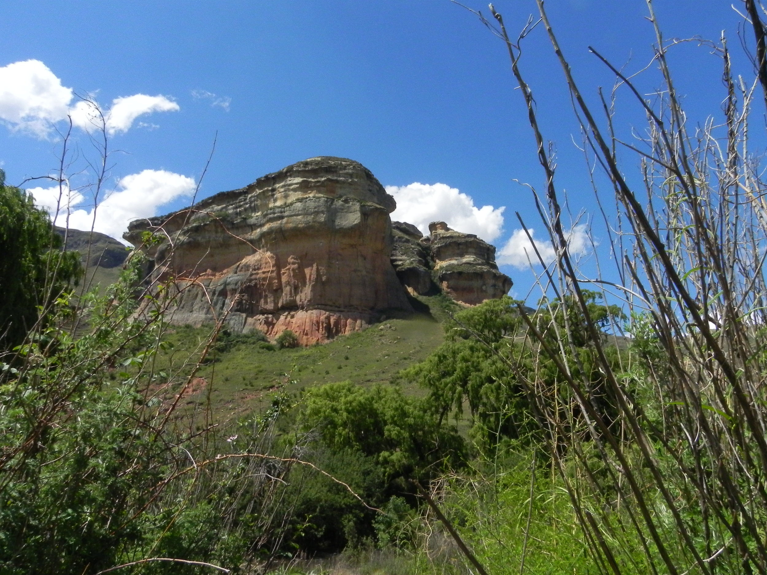
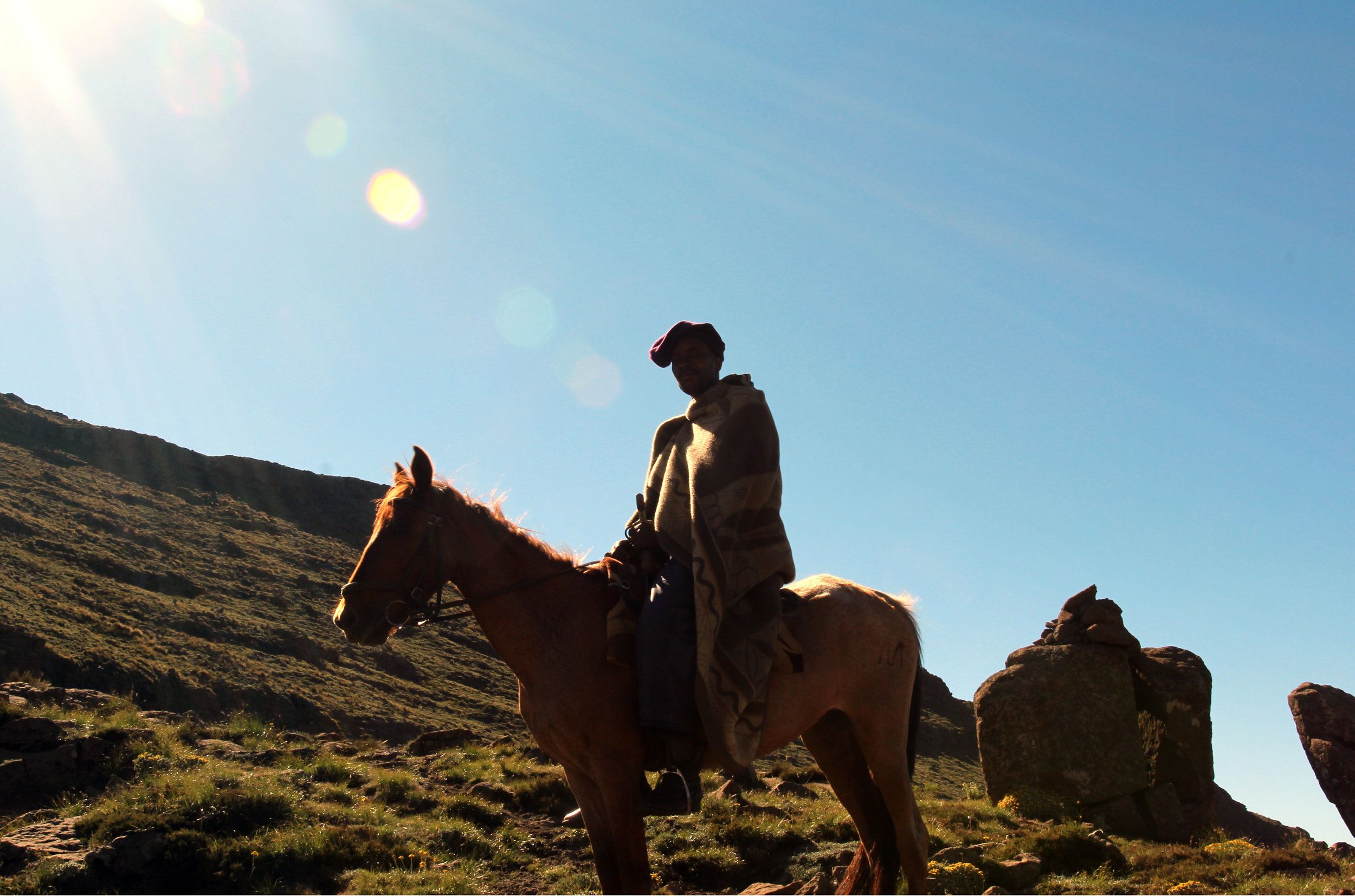
Making up for this is the beautiful bush with Maroela trees, buck and bird life. The cottage we rented sat alone in the bush and we could not see any houses from it. We spent three nights there, walking and running on the rutted tracks throughout Marloth Park each morning. In the evenings we would drive Lara the Landy along the Crocodile River in search of the perfect sundowner spot overlooking the Kruger National Park.

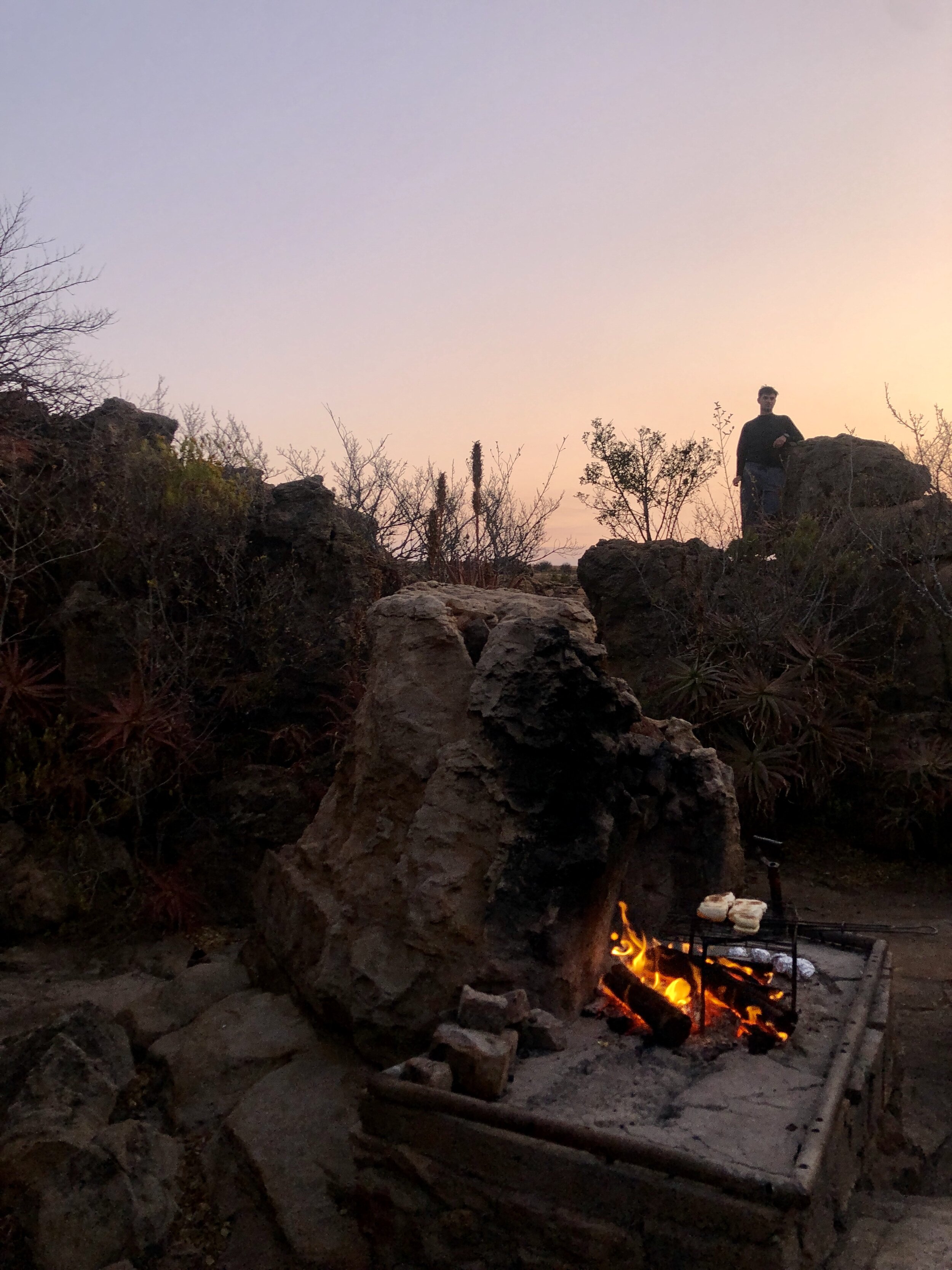
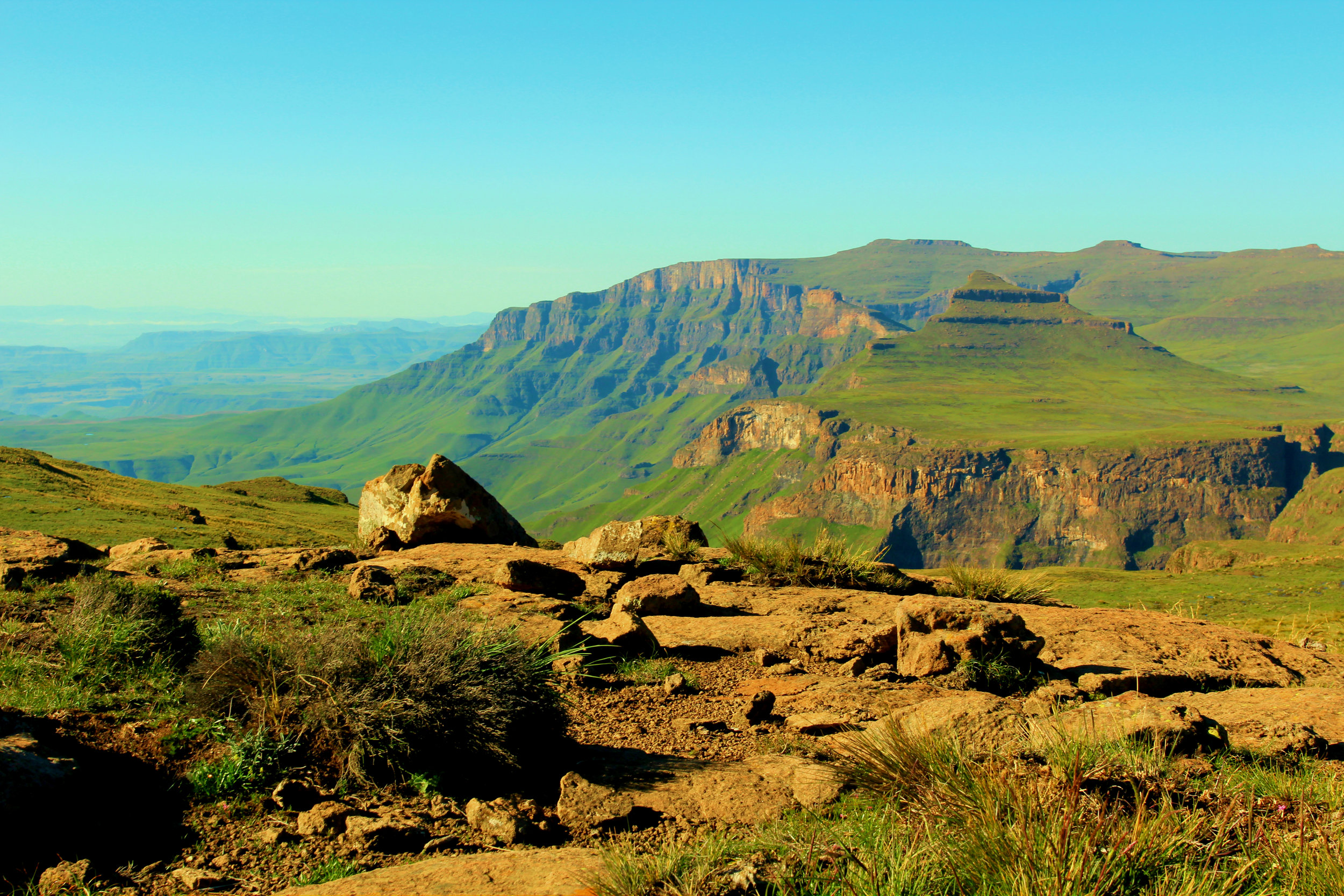
Sundowners overlooking Kruger National Park
After we knocked off on Friday afternoon we headed into Kruger through the Crocodile Bridge Gate and headed to Lower Sabie where we had booked for two nights.
Big campsites are not really our thing - we go camping to get away from other people. Lower Sabie is the opposite of this. The campsite is basically a parking lot with campers packed in like sardines. After finding one of only two available sites, we decided to embrace the full Lower Sabie experience and headed to the on-site Mugg and Bean for dinner. Despite being in a restaurant that could have been in Fourways Mall, the view was spectacular and we saw elephants playing in the river.
That night we fell asleep to the sound of happy families chatting around campfires and the drone of caravan air cons powered by generators. We were awoken at 5am to an army of 4x4s heading out for morning game drives. If you held your breath you could maybe hear the morning chorus of the bush.
We had coffee and rusks overlooking the car park (*ahem* sorry, campsite). Once packed up we headed to reception where the staff there were extremely helpful. We changed our booking to Malelane in the very south of the Park for Saturday night.
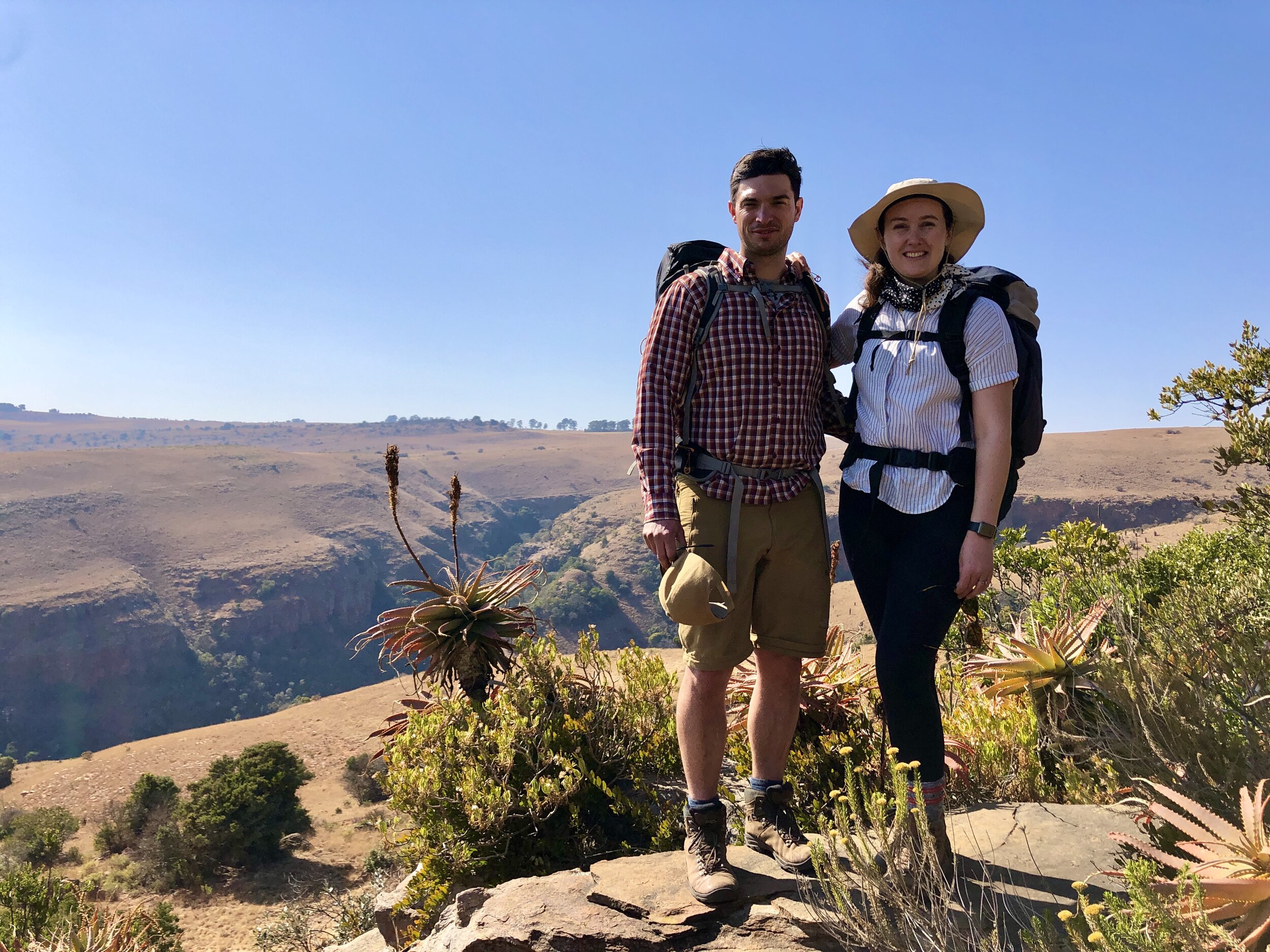
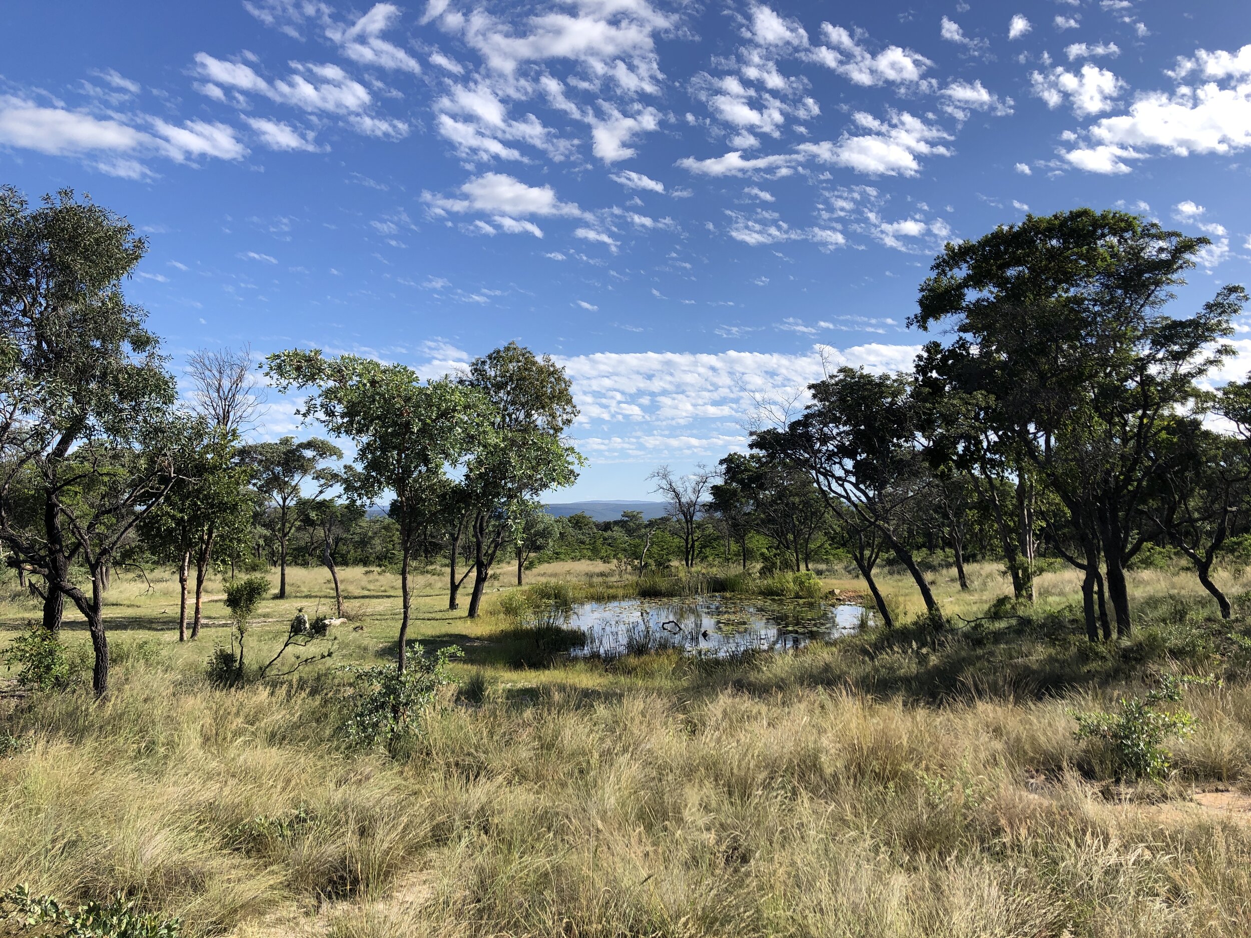
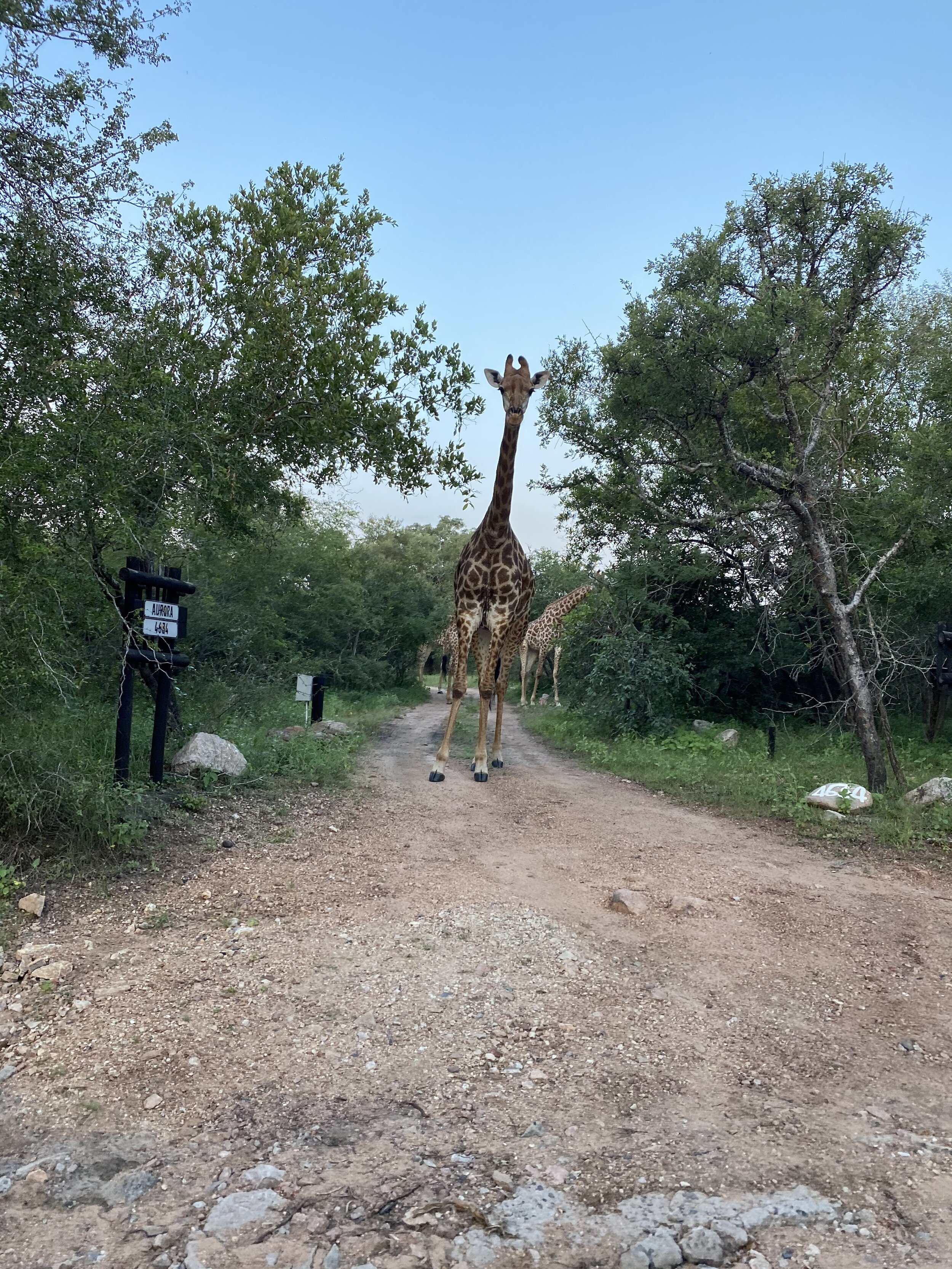
We spent the morning driving the gravel back roads of Kruger. We enjoyed stunning views of the bush that was so green from the good rains. This was the Kruger experience we were looking for. Quiet roads, good sightings, no other cars and plenty of time to stop and enjoy the view.

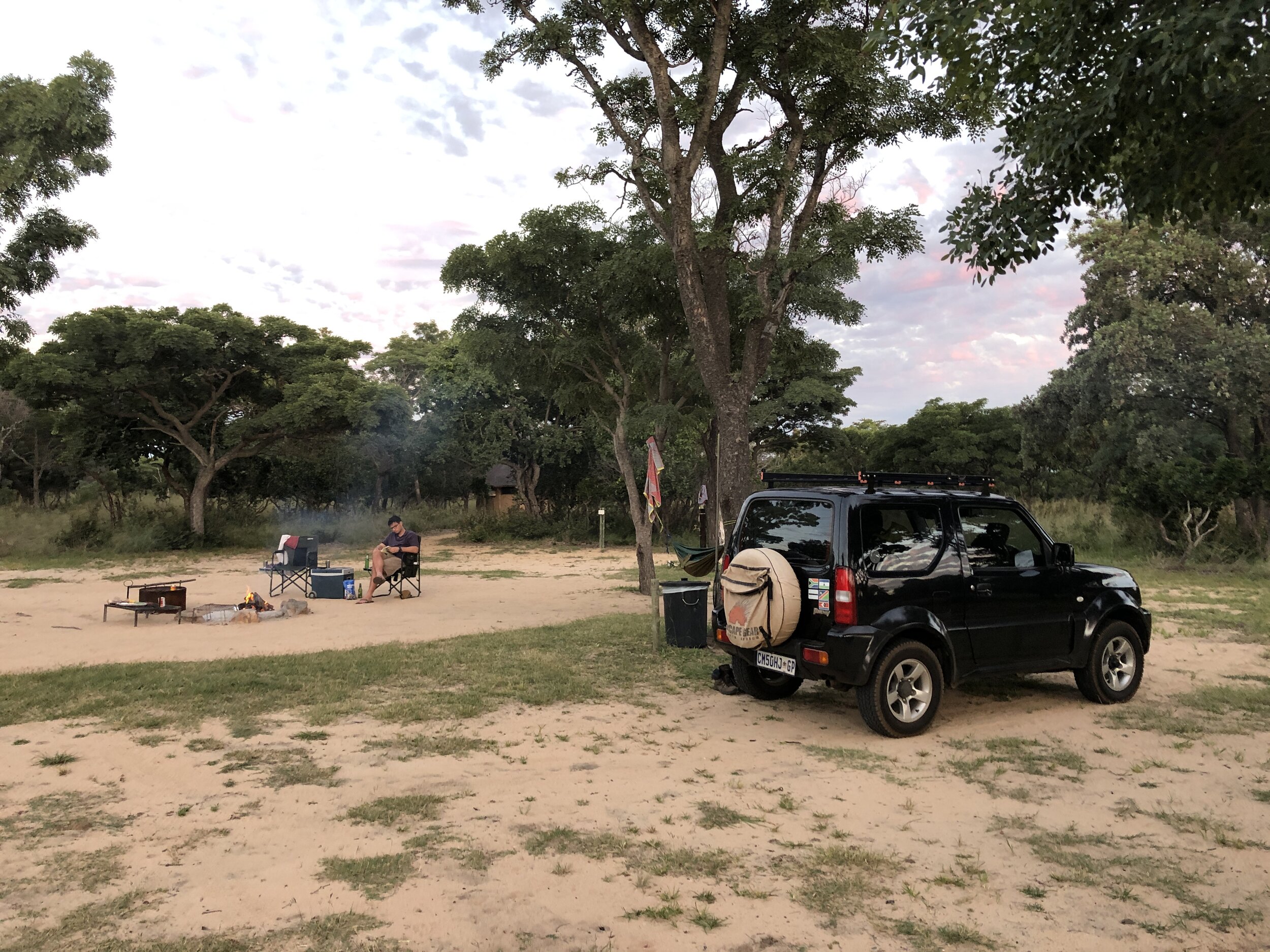
We arrived at Malelane and immediately knew that it was for us. The gate to the site is a flimsy old one that you have to get out and open yourself. There were only five other groups camping and staying at the chalets. We parked up in the corner of the campsite right up against the low fence under a grove of trees with views of the river. No generators or DSTV dishes in sight!
We spent the afternoon reading and enjoying the peace and quiet of the bush. We headed out on a game drive in the early evening. We had a good sighting of a leopard on the road to Berg en Dal.
Sunday morning found us at the Malelane campsite gate at 5am waiting to be picked up for a morning game walk. We were extremely well treated by our guides, Peter and Delphine, who were a fun double act with great knowledge of the bush. We walked for about 3 hours admiring the scenery and regularly stopping to appreciate the sites, sounds and smells of the bush. We heard a leopard barking and had a great hippo sighting when we disturbed two giants sleeping in a water hole.
We love bush walks because it’s a much more immersive experience than being in a vehicle. When on foot in the bush you feel like you are part of it. When you’re in a vehicle the safety, height and noise means you feel as if you are viewing nature from a distance. Both have their advantages though, as you typically see much more from a vehicle as you can cover more ground and animals don’t fear vehicles but will typically run from you on foot.
We really recommend Malelane Campsite. While it is not wild (you can see sugar cane farms and industry on the other side of the river) it is a small, quiet camp that is not commercial. It is well situated in an area with spectacular scenery and a good road network. An added bonus is that it is probably the closest camp to Johannesburg along a good road. There was also strong LTE signal.
If you’re looking for a “work from camp” spot, this is it.