The trick to camping with kids? Low expectations

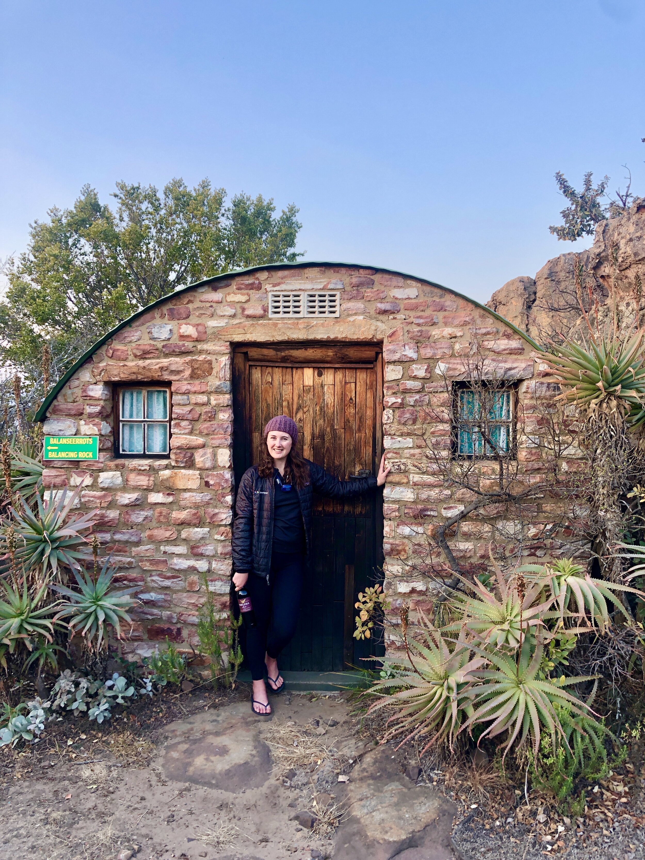
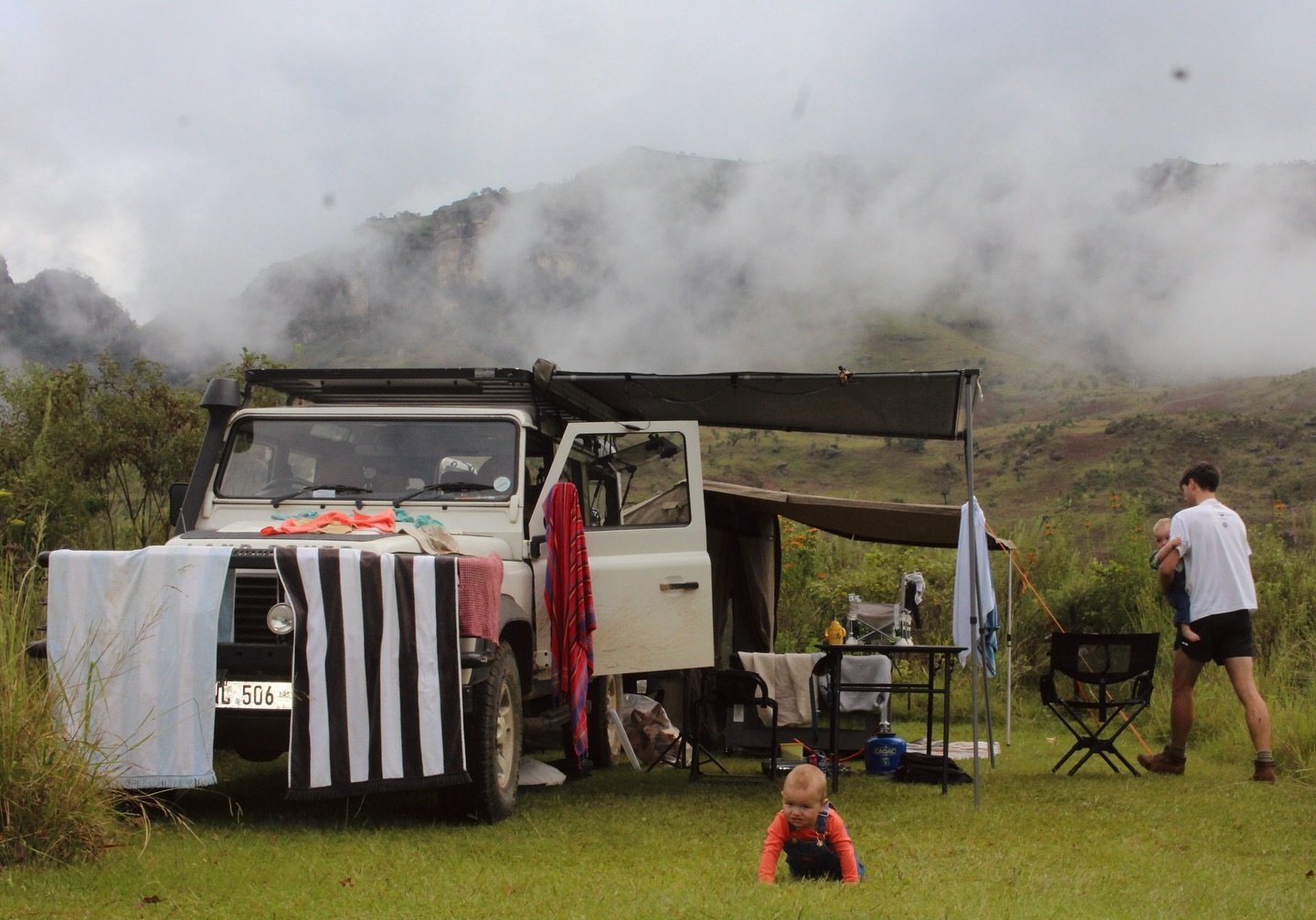
Drongo campsite at Matamba

Last weekend we took our 5 month old twin boys camping. This raised a few eyebrows from our friends, family and followers but it was something we’d planned for a while.

When Kate was pregnant we promised each other that we’d go camping before they were four months old. We were worried that if we didn’t do it early we’d get nervous and keep putting it off.

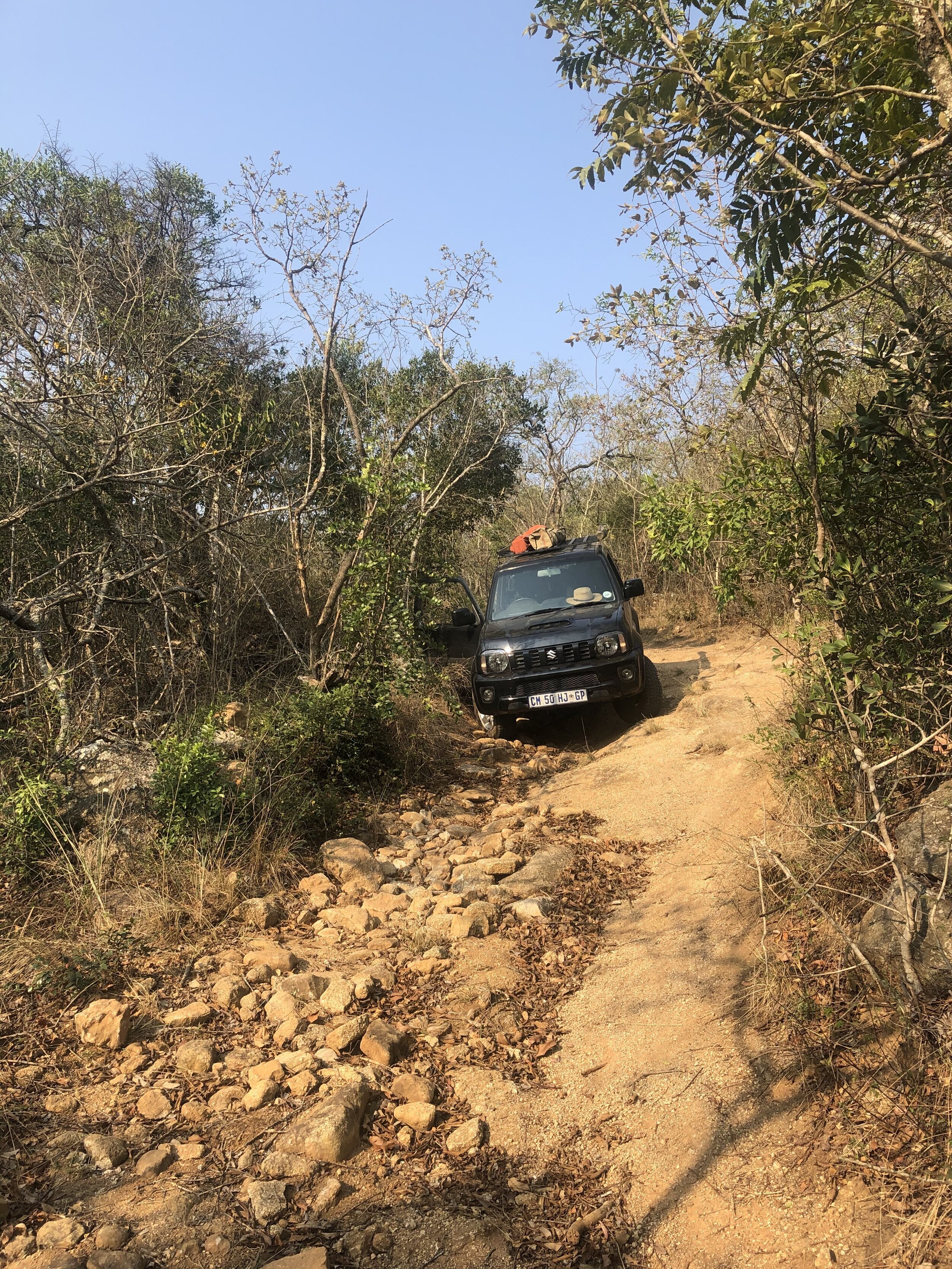
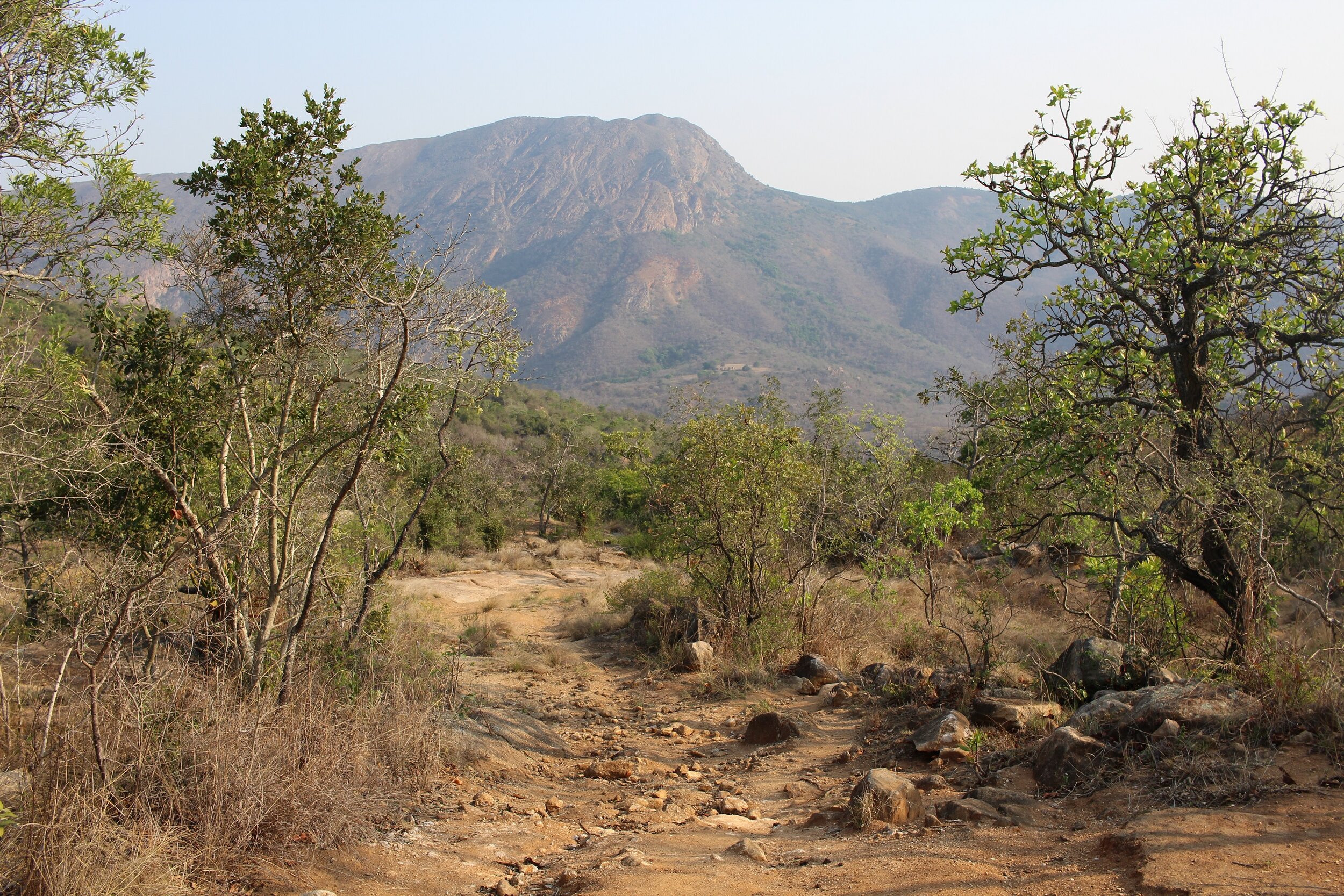
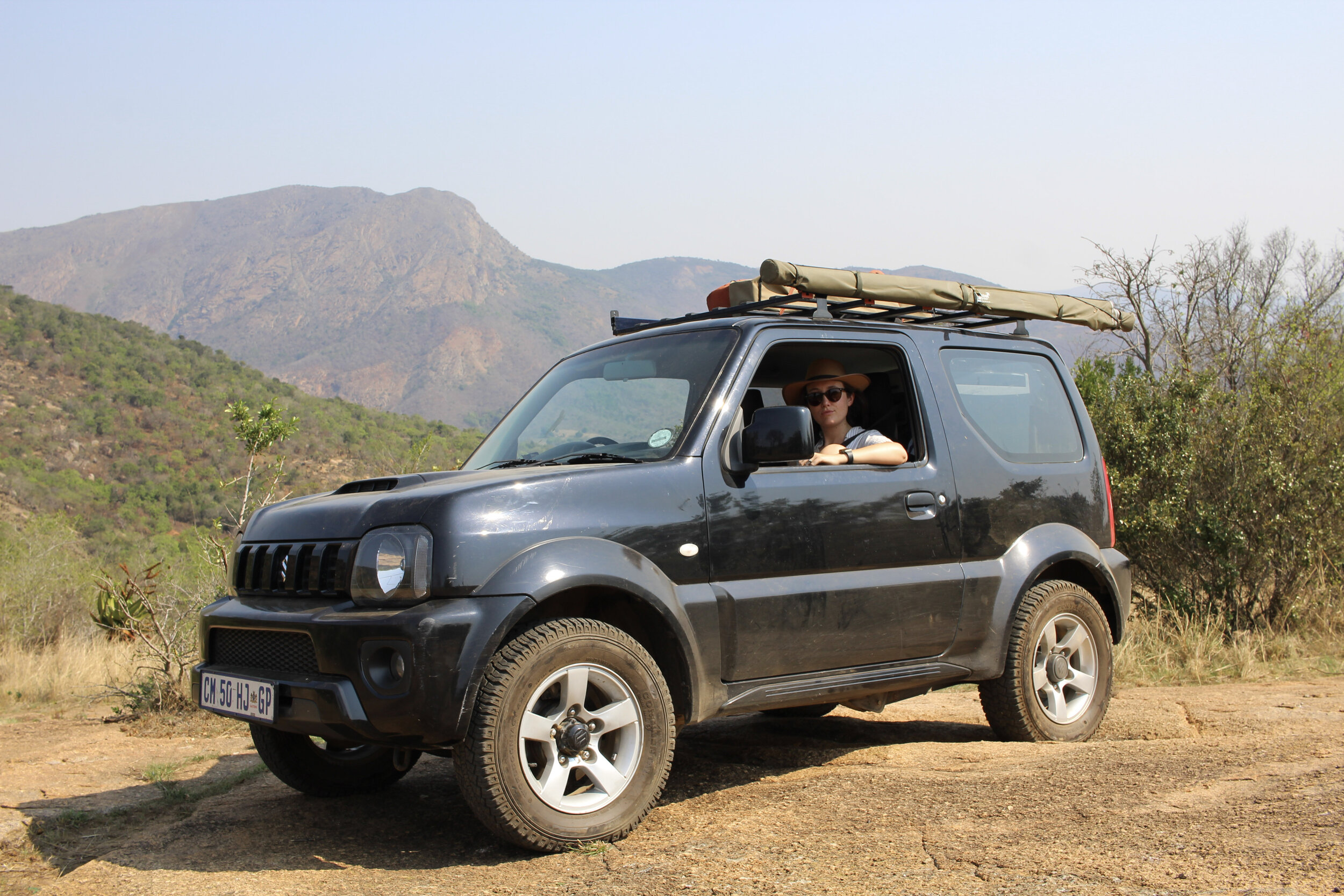
Four months came and it was still a bit cool for camping and we’d had a couple rough weeks of sleep. So we put it off for a month. With the weather warming up recently we booked a night at Matamba Bush Camp which is a three hour drive from Johannesburg.

Here’s how we made our first camping trip with our boys a success. 

We went somewhere we knew 

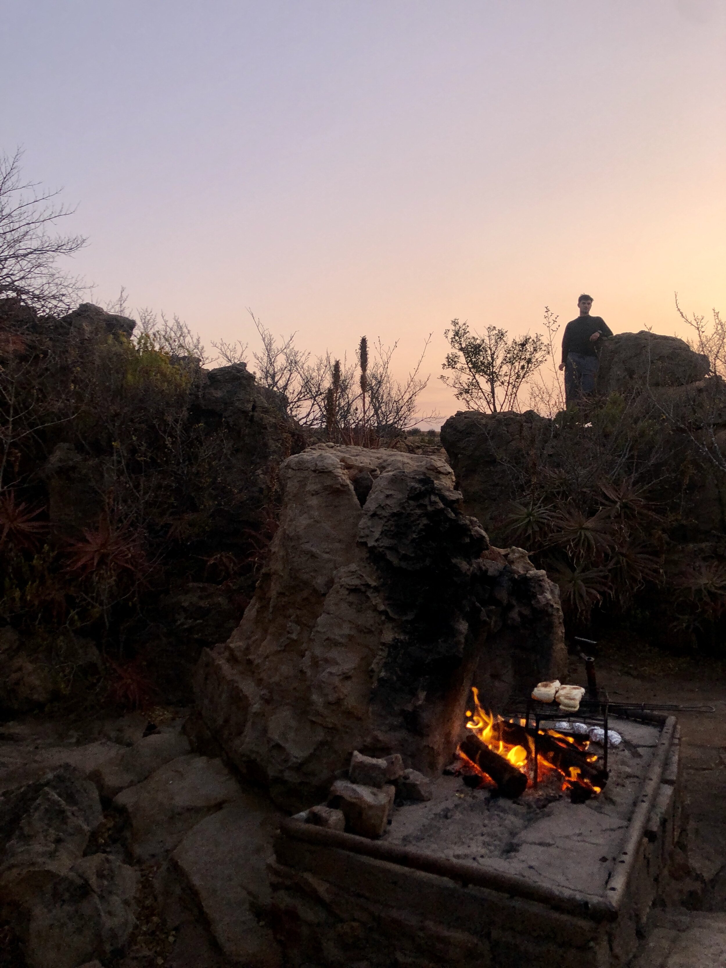
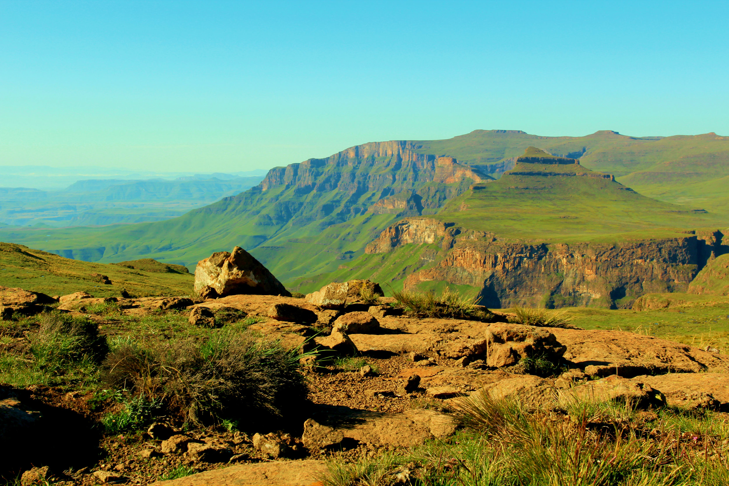
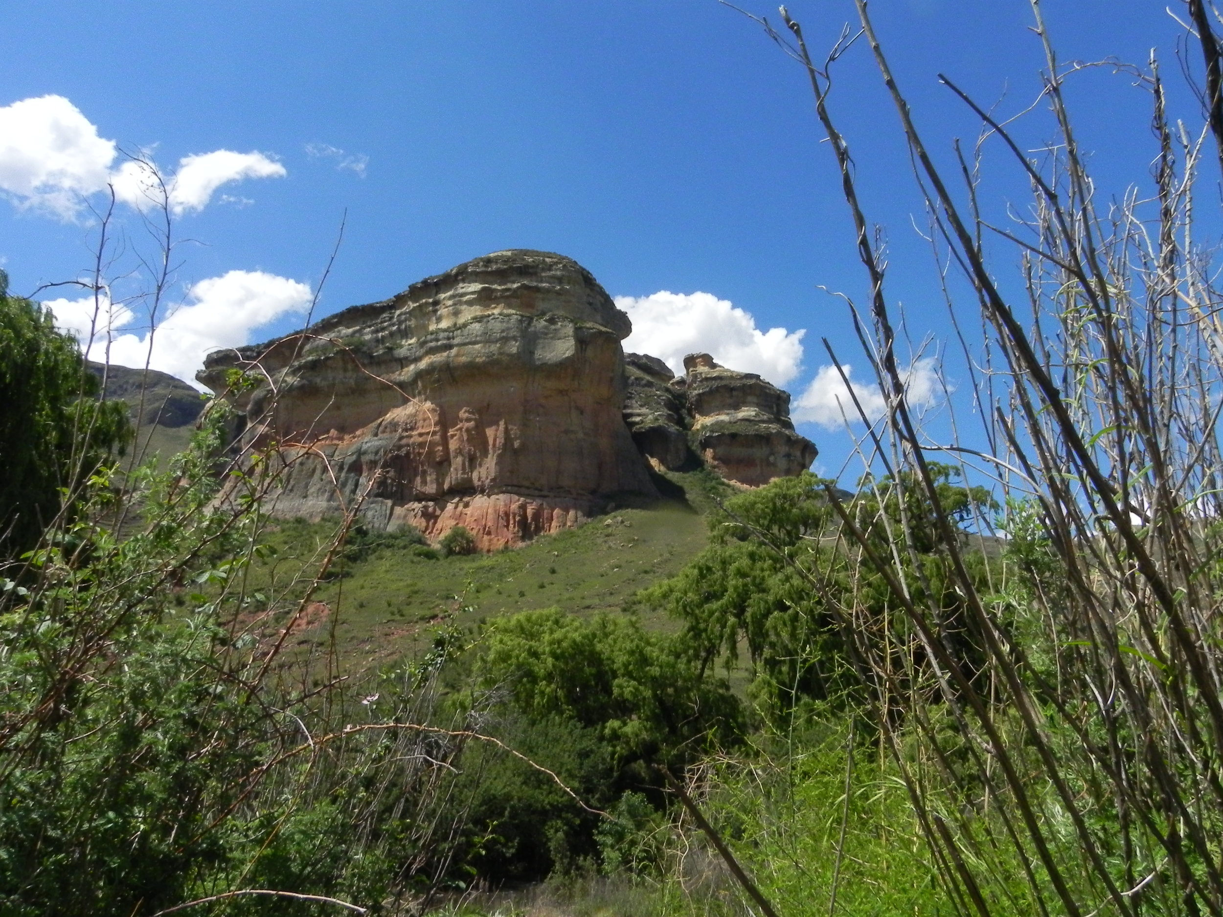
This was our third visit to Matamba Bush Camp. It’s one of our favourite camping spots outside of Johannesburg. The campsites are private and well spaced out. They have some of the best camping bathrooms we’ve ever seen and there’s water and electricity in the campsites. 

This gave us confidence. We knew what to expect and could plan well. It would have been a much harder trip if we were going somewhere new. 

We had low expectations 

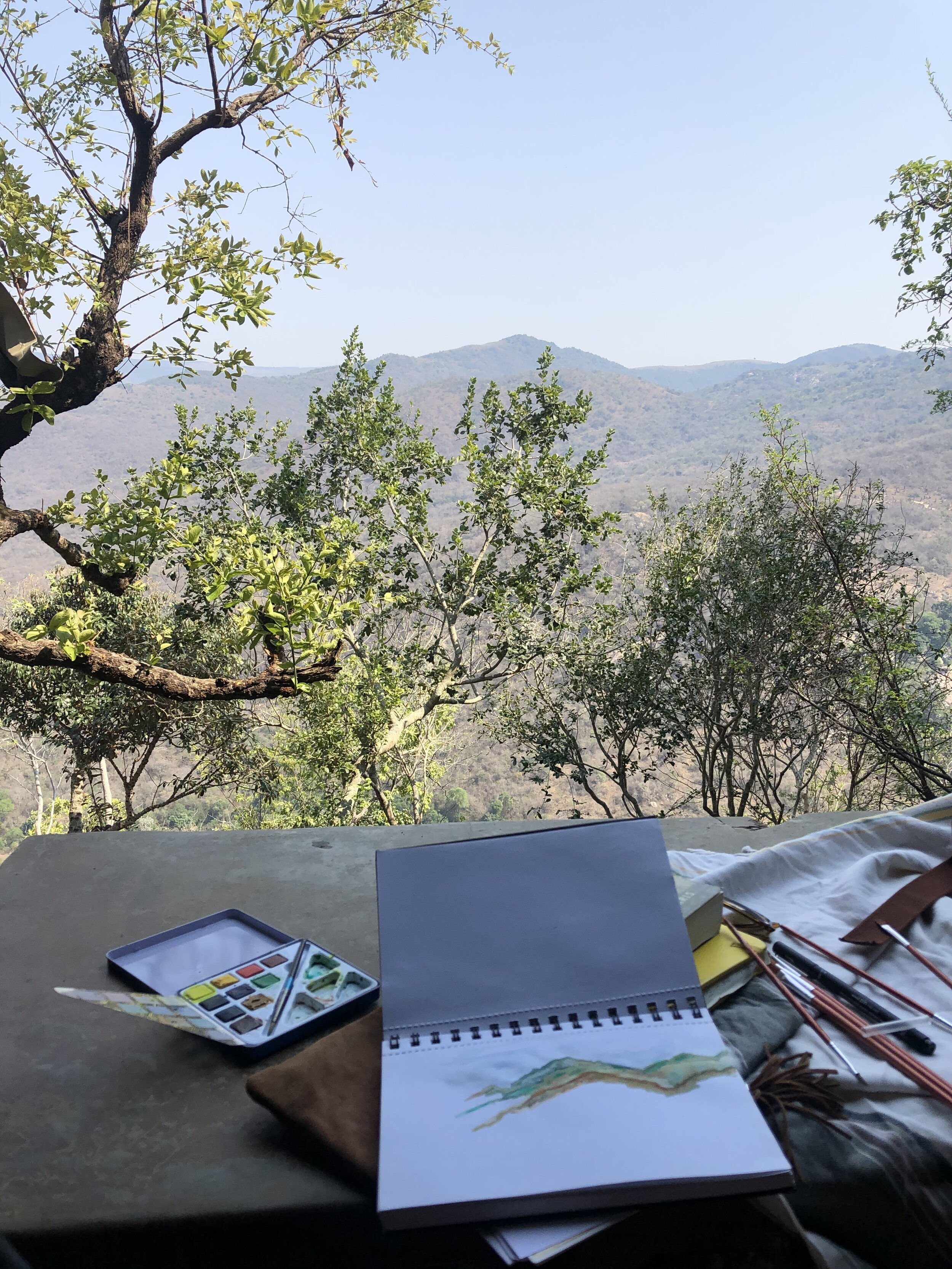
We spent our last trips to Matamba Bush Camp napping, reading, hiking and swimming. We didn’t expect this trip to be the same - or even relaxing. We went into it hoping it wouldn’t be too hard, we’d have fun and we’d want to do it again. 

Having babies is hard. Camping with babies is hard! The boys didn’t sleep through the night. They got bored on the drive. They cried and struggled a bit with the heat. But overall it was positive and we’re looking forward to our next trip.

We did it for one night 

You can do anything for one night. We left home on Saturday morning and spent exactly 24 hours at the campsite. This meant we had to pack less stuff for the boys and if it got really hard we knew we were going home in the morning!

Work from Anywhere: Southern Kruger

With no date to return to the office we decided to make the most of “working from home”. We’ve spent over a year working from our spare room and dining room. We were desperate for a change of scenery. All we needed was reliable cell phone signal and a plug point. 

We chose Southern Kruger because it is only 4.5  hours from Johannesburg on the highway - close enough to escape home if something wasn’t working. It also had good LTE coverage.

We had a 4am wake up call on a Tuesday and hit the road. We arrived mid-morning at an AirBnB cottage in Marloth Park. We jumped on to our laptops for the day, enjoying the view of the pool and bush.

Marloth Park would not be a normal spot for us to visit. It is made up of an interesting mix of dilapidated holiday homes that look like they have not been visited since the 1970s and more modern over the top bush homes made of face-brick. (Ben: The South African obsession with face-brick is something I will never understand.) 

Making up for this is the beautiful bush with Maroela trees, buck and bird life. The cottage we rented sat alone in the bush and we could not see any houses from it. We spent three nights there, walking and running on the rutted tracks throughout Marloth Park each morning. In the evenings we would drive Lara the Landy along the Crocodile River in search of the perfect sundowner spot overlooking the Kruger National Park.

Sundowners overlooking Kruger National Park

Sundowners overlooking Kruger National Park

After we knocked off on Friday afternoon we headed into Kruger through the Crocodile Bridge Gate and headed to Lower Sabie where we had booked for two nights. 

Big campsites are not really our thing - we go camping to get away from other people. Lower Sabie is the opposite of this. The campsite is basically a parking lot with campers packed in like sardines. After finding one of only two available sites, we decided to embrace the full Lower Sabie experience and headed to the on-site Mugg and Bean for dinner. Despite being in a restaurant that could have been in Fourways Mall, the view was spectacular and we saw elephants playing in the river. 

That night we fell asleep  to the sound of happy families chatting around campfires and the drone of caravan air cons powered by generators. We were awoken at 5am to an army of 4x4s heading out for morning game drives. If you held your breath you could maybe hear the morning chorus of the bush. 

We had coffee and rusks overlooking the car park (*ahem* sorry, campsite). Once packed up we headed to reception where the staff there were extremely helpful. We changed our booking to Malelane in the very south of the Park for Saturday night.

We spent the morning driving the gravel back roads of Kruger. We enjoyed stunning views of the bush that was so green from the good rains. This was the Kruger experience we were looking for. Quiet roads, good sightings, no other cars and plenty of time to stop and enjoy the view.

On the fence

We arrived at Malelane and immediately knew that it was for us. The gate to the site is a flimsy old one that you have to get out and open yourself. There were only five other groups camping and staying at the chalets. We parked up in the corner of the campsite right up against the low fence under a grove of trees with views of the river. No generators or DSTV dishes in sight!

We spent the afternoon reading and enjoying the peace and quiet of the bush. We headed out on a game drive in the early evening. We had a good sighting of a leopard on the road to Berg en Dal.

Sunday morning found us at the Malelane campsite gate at 5am waiting to be picked up for a morning game walk. We were extremely well treated by our guides, Peter and Delphine, who were a fun double act with great knowledge of the bush. We walked for about 3 hours admiring the scenery and regularly stopping to appreciate the sites, sounds and smells of the bush. We heard a leopard barking and had a great hippo sighting when we disturbed two giants sleeping in a water hole. 

We love bush walks because it’s a much more immersive experience than being in a vehicle. When on foot in the bush you feel like you are part of it. When you’re in a vehicle the safety, height and noise means you feel as if you are viewing nature from a distance. Both have their advantages though, as you typically see much more from a vehicle as you can cover more ground and animals don’t fear vehicles but will typically run from you on foot.

We really recommend Malelane Campsite. While it is not wild (you can see sugar cane farms and industry on the other side of the river) it is a small, quiet camp that is not commercial. It is well situated in an area with spectacular scenery and a good road network. An added bonus is that it is probably the closest camp to Johannesburg along a good road. There was also strong LTE signal. 

If you’re looking for a “work from camp” spot, this is it.


Suikerboschfontein Hiking Trail

Ben at the start of the hike: Oom Japie’s

Ben at the start of the hike: Oom Japie’s

Let’s say this first: we love living in Johannesburg. We’re big fans of the energy, the green suburbs, its parks and nightlife. But my God, it’s not where you want to live when Covid-19 lockdown regulations mean you can only travel provincially. 

While our friends in KwaZulu-Natal and the Western Cape were camping, hiking and swimming, we were stuck staring at a map of the smallest province in South Africa. It was pretty dire. 

So, when the country moved to level two lockdown we were ready to get out. Luckily, we had a booking for one of our favourite overnight hikes in Mpumalanga: Suikerboschfontein. We had first done the hike in 2014, when we had just moved from Cape Town to the big smoke. It was our first experience of overnight hiking and made a lasting impression. 

It will take you about 2.5 to 3 hours to drive from Johannesburg to the Oom Japie dormitory where you’ll sleep on Friday night. It’s pretty rustic, but clean with everything you need. Arrive with low expectations and you’ll be fine. There is a large braai area with a gas stove. Light the donkey boiler, if you want a hot shower. 

Day 1

The Suikerboschfontein hiking trail offers some of the most beautiful landscape and vegetation that you’ll find within three hours of Johannesburg. 

When you start hiking you’ll skirt a cliff, where you can spot bushman paintings if you squint. You’ll descend down into grassland, where unfortunately the impact of cattle farming is clear. The river valleys are also sadly overrun with wattle. This part is easy on the legs but not very scenic. 

IMG-9139.jpg

This changes when you cross a stream around lunchtime and enter the nature reserve. As you climb slowly you will be surrounded by incredibly diverse vegetation, rocky outcrops and remnants of iron age settlements. The cabbage trees, aloes and crystal clear streams are breathtaking. The bush is alive with birds.

As you approach the end of day one (around 9km) you’ll enter a pristine indigenous forest and hike up through a gorge following the course of a small stream. Take your time. Your legs will be tired and you’ll want to take in the magical nooks and crannies. Indigenous forests would have covered the highveld before cattle and man-made fires destroyed nearly all of them. Now only those tucked away in hard to reach spots remain.  

At the top of the gorge you’ll climb a couple ladders as you squeeze through a crack in the rocks. You’ll walk through rock pillars and grassland to your accommodation for the night: Rooikrans camp. It’s made up of stone huts cleverly built into the natural landscape. If you let your imagination wander you could easily be in a hobbit shire or on the moon. The huts sleep six in three bunk beds. They are clean and warm, even on a cool night in August. 

We were welcomed into the kitchen and braai area by a couple of southern boubous - a type of bushshrike. They chatted away as we unpacked our food, clearly hopeful that our arrival meant dinner was sorted. 

After catching our breath we lit the donkey boiler. You’ll want to get it going soon, as it takes a while to heat the water. There is nothing better than a hot shower with a beer after a long day hiking in the bush.  

While we waited for the donkey to heat up we went to the outlook point. We enjoyed a few cold beers that one of our fellow hikers managed to squeeze into a backpack. Thanks Phil for supplying and carrying the beers!

Dinner was steak, baked beans and a few potatoes under the stars. We enjoyed a bottle of Thelema Merlot. It’s one of our favourite South African wines and was well worth the extra weight in our backpack.

Day 2

It’s good advice for any hike but especially true here: plan to get out early. Day two is the highlight of this hike. You’ll want time to stop, admire the views and explore. (Warning: Day two is longer than the 10km stated on the map. It took us about 6 hours, including 30 minutes when we got lost.)

We coaxed our weary legs out of our sleeping bags and headed to the kitchen. We made coffee with our aeropress, grabbed some rusks and headed to the lookout point. We looked down into the valley and caught a glimpse of the gorges we would spend the day exploring. 

When you leave Rooikrans camp you’ll wind through a rock maze. Then you’re hopping and jumping your way across a series of rock pillars with the valley stretching out below you. 

The first of many “wow” moments is when the path leads you to the edge of a huge gorge. As we skirted the cliff we disturbed a large flock of Southern Bald Ibis who were roosting on the rocks below us. This type of Ibis was a first for us. It is an uncommon resident and endemic to this part of South Africa. We were able to spot a couple nests with eggs using our binoculars. 

Just before we climbed down into the gorge

Just before we climbed down into the gorge

Much of the route back is along and often through the river. Having spent the first day in the sun, day two is spent in the cool, damp forest. You’re surrounded by ferns, creeping vines and moss. You’ll need to take your time on slippery rocks, either scooting down on your bum or using a rope for help (especially in the summer when the river may be high). A couple wooden ladders down waterfalls and along rock ledges keep things interesting. 

There are many crystal clear pools, where you can enjoy lunch and brave the cold water for a swim. Enjoy your time there, as you’ll soon be heading out of the cool gorge and start climbing again. We lost the trail just before the ascent due to too much chatting. So keep an eye on the white markers and look out for the sign post. 

The rest of the way home is flat grassland and a few climbs down and up out of river valleys again. Tired legs from a day and a half of hiking can make this slow going. 

If you’re struggling towards the end you can set your sights on the pool just before you get back to your car. It’s a bit murky but appears like an oasis after a long final uphill through a valley. Otherwise you can jump in the shower at the Oom Japie dormitory before starting your drive home. 


Details

You need to bring everything with you: sleeping bag, food, drinks, quick dry towel and a change of clothes. Firewood is provided. We like to bring frozen meat and some tinned beans to braai at the overnight hut. You can let the meat defrost in your backpack while you hike. 

The hike is booked through Fagala Voet. It costs R420 per person for the weeknd. Nadia at Fagala Voet is very helpful and can provide advice and additional information. 


Do you want email updates when we publish a new blog post?

Sign up using the form on our About page.


Matamba Bush Campsite

Matamba Bush Campsite is a dream spot for Joburgers. 

We dashed out of the city at 2 pm and headed north towards Bela Bela.  Three hours later we had our camp set up and watched the sunset with a drink in hand. The drive is straightforward and on good tar until the last couple of kilometers. Matamba is located in the Waterberg, a UNESCO World Heritage Site.

IMG-5343.JPG

The private game farm has six campsites and one campsite in a different part of the reserve for large groups. This is the closest you get to the feeling of camping north of borders, whilst staying within a few hours of home. Each campsite is private with lots of shade and amazing bathrooms.

Once you enter the reserve you are not allowed to drive around. The emphasis is on enjoying the bush by walking, running or cycling. Ben did a couple of tough runs on the sandy tracks and we also did a couple of hikes. The bush here is wooded and in pristine condition. The shade makes it nice and cool for walking. Strolling through the combretum tree on Saturday afternoon we saw eland, blesbok and impala, as well as a variety of birdlife.

Apart from exploring the reserve we enjoyed lazy hours at camp in our hammock and at the campsite pool. At sunset a couple of zebra walked through camp as we were enjoying a few cold ones around the fire with our new TentoCo safari chairs.

We have heard so many great things about Matamba from friends who have visited. We think it is the best weekend camping experience within easy reach of Joburg. The peace and quiet of the bush and pristine nature of the reserve made us feel a million miles away from the stresses of everyday life.

Sadly this was our final adventure in Jolene the Jimny. She has been absolutely flawless since we got her nearly new in 2014. We logged nearly 90,000 km across South Africa and nearly all of its neighboring countries. She opened up a whole new world for us and ignited a passion for exploring the continent we live on. Some of our fondest memories as a couple are waking up at 3 am to drive from Joburg to Kalahari, coming back to Joburg tired but well rested from the Drakensberg on a Sunday evening or traveling in convoy with friends through the Namibian desert. 

Jolene has done so much for us and we will miss her. But we decided it was time for something bigger that will allow us to go further with a little more comfort. More to follow in our next post on what vehicle we decided on and where we take her on a first trip - COVID-.19 dependent!

IMG-5411.jpg


Ngwempisi: Don’t bring your Ford Fiesta

4am alarm. Kettle on. Last minute packing: toothbrush, books, sunscreen. Where are the head torches? Jump in the car. Watch the sunrise over Joburg. We’re going to Eswatini

The drive to Sandlane border was easy and we were through in 15 minutes. This meant we were on track to arrive in Manzini by 11h45. The Springboks were playing the All Blacks in their first game of the Rugby World Cup. Our friend Caroline was joining us for the first night and recommended we head to The George Hotel

We arrived in the lobby - after fighting Saturday morning Manzini traffic - to find a large family wearing Springbok rugby jerseys. Caroline’s advice had been spot on. We watched the game while we enjoyed a couple cold Sibebes and some great fries. 

The Boks were unlucky - they lost 23-13. Slightly subdued we jumped back in the car and headed back out of Manzini. After a quick stop for petrol, water and ice-cream (a mint Magnum, always) we hit dirt road on our way to Ngwempisi

“Everything is fine!”

IMG-2076.jpg

We wound up and down valleys on a bumpy, challenging road through forestry land and streams. We popped out at a local school and thought the worst was behind us. After passing a homestead we drove onto a large rocky koppie with thick bush ahead of us. The road was not obvious, which was the first red flag. 

The route to the camp was some of the most technical and challenging offroading we have done. We battled rocky slopes, loose rock and at one point wedged one of our cars on top of a boulder. We got into sticky spots and had serious clearance issues. Jolene the Jimny did well. Chris’s Toyota Hilux, which is heavy enough, had the added weight of two rooftop tents. It struggled and he sweated. 

Caroline and Kate were in and out of our cars guiding Ben and Chris and moving rocks. It took us an hour to get down. Our friends who left their car at the top walked down in 15 minutes. 

It was a lot of (nervous) fun. Worth it but hairy at times. We arrived just in time for well earned sundowners. 

Neverland campsite

We arrived at Khopho Camp as the sun began to set. Beers in hand we clambered onto an enormous boulder and watched fires burning down in the Ngwempisi river valley. 

Caroline brought Prosecco - which had made it unscathed despite the bumpy journey. We popped it and enjoyed the fire. 

The camp was opened in 2007 with funding from the European Union. Whoever designed it had a special vision. The only way to describe it is a treehouse built into a tumble of boulders. There are different wooden platforms with stairs and viewpoints. You wind from sleeping areas with 15 bunkbeds to an open air kitchen and then onto a hidden shower with a view down to the river. 

Sadly it has seen better days. It’s quite run down and has not been maintained. There was a lot of rubbish - including a toilet seat hanging from a tree! We brought our tent but flat ground is limited. You can drink the water and there are flush toilets. 

We enjoyed our one night there. We didn’t have time to explore the hiking trails. Ben made it down to the river, which was clear and deep. Good for swimming and fishing! Be warned the climb is very steep and hard to find. 

The next morning we packed up and prepared to tackle the road again. It was a bit easier going up but still challenging. Jolene’s power and lightness really helped. 

We were charged R200 per person for the night,. We thought this was quite expensive considering the state of the camp and the basic facilities. We passed on our recommendations to the manager. 

It is a spectacular spot, with good 4x4-ing and tough hiking trails. A little investment and on-going maintenance would make us return. It is also possible to do multi-night hikes in the reserve hiking to different camps each night.

We dropped Caroline back in Manzini and headed east to Mbuluzi Game Reserve. Blog post coming soon.

How to book

There isn’t much information about the camp online. To book contact the manager, Nothkozo, on +268 7614 5863. He doesn’t have Whatsapp so you need to call. 


How to plan an overnight hike in the Drakensberg mountains

This blog post is a little different from our previous posts. Rather than being about a specific adventure, it is about a place that we hold very close to our hearts: South Africa's Drakensberg mountains. It’s possibly our favourite place in South Africa.

Looking into Lesotho from the top of Giant's Castle Pass

Looking into Lesotho from the top of Giant's Castle Pass

There are two sides to the Drakensberg, the Midlands and the high Drakensberg. In this two-part series, we will describe exploring this mountainous world in Kwa-Zulu Natal, between Johannesburg and Durban. Part 1 will look at how to plan your own hiking adventure into the high Drakensberg and part 2 will look at exploring the Midlands and little Berg in a car and on foot.

Planning a multi-day hike into the Drakensberg can feel intimidating at first. It feels like you need loads of kit, need to be super fit and have lots of hiking experience. We hope this post will show you that it’s more manageable than you think and inspire you.

To reach the high Drakensberg (which are passes that lead up to the Lesotho border) typically requires a day of strenuous hiking. So, before you start planning you need to be fit. Not superhuman, Ironman fit but able to carry a pack and walk uphill for 8 hours (and then sleep in a cave or tent).

When first exploring the idea of hiking in the Berg the first thing that overwhelmed me was the seemingly endless route options. In time, I learnt to embrace this as part of the beauty of the Berg. Because it is such a vast wilderness and there are so many different routes it is unlikely that you will see more than a couple of people while you are out hiking.

The first overnight hike I did was with my dad up the infamous chain ladders, to the top of the Amphitheatre in the Royal Natal National Park and then across to the Ifidi Cave. We drove down from Johannesburg on a Friday after work and stayed at the Witieshoek Mountain Lodge before setting off on our hike early Saturday morning. I learnt a lot on this first hike, mainly about navigation and water. 

Buy hiking maps

Above the clouds 

Above the clouds 

The best way to start planning your route is to buy the hiking maps for the Berg. They are available at Maps4Africa in Johannesburg and Takealot. In London, you can buy them at Stanfords. We also use the forum comments on Vertical Endeavour to give us an idea of route conditions and hiking times.

If you can get your hands on a copy of David Bristow’s book, Best Walks of the Drakensberg, that will also help you understand the different routes. There is a fair degree of poetic license in the book (especially around distances and travel times). So, take everything in it with a pinch of salt.

Don’t over commit

Be careful of planning too much driving and hiking in one day. Driving to the Berg from Joburg takes about 4 hours, depending on where you are going. Planning to hike 6 to 8 hours on the same day can be very hard.

The same goes for the way back. If you are Joburg based, the best thing to do is take a half day on a Friday and drive down to the Berg. Stay at the Parks Board accommodation or hike for an hour into the mountains (if you are brave this can be done in the dark). Hike all day on Saturday and then aim to be back at your car by latest 3 pm on Sunday.

Book your cave & pack your tent

When hiking in the Berg you will either sleep in a cave or in a hiking tent on the mountain. Good caves offer fantastic shelter and often mind-blowing views. Detailed information on the condition and shelter offered by the numerous caves can be found on Vertical Endeavor and caves are all marked on the maps. Some caves need to be booked in advanced through Ezemvelo Wildlife.

My advice is to find a cave that you would like to sleep in and then plan your trip around getting to that cave. Always bring a tent - even if you don’t plan on using it – as things may not go to plan. Hikes often take longer than you anticipate or the weather could close in. Caves are few and far between at the top of the escarpment and this is where tents can save you.

Download Gaia GPS

Injisuthi

Injisuthi

Hiking in the Berg is not like hiking in Europe or North America, where there are typically well-marked trails and often sign posted. Most hikes in the Berg start on a well-marked trail from an Ezemvelo Parks Board Office, and then as you get deeper into the mountains the paths normally disappear or often lead in multiple different directions, which are not marked on the map.

It’s easy to get lost. Download the Gaia GPS app on your phone. It’s a peer-sourced hiking map. Most of the main routes in the Berg are marked on it. Then visit Vertical Endeavour, a forum with invaluable information on hiking in the Berg. It has GPS routes and waypoints you can download onto the Gaia app. So, you simply have to follow the line marked on the GPS.

Despite the best technology things can go wrong. While doing the Bell Traverse in April this year with two friends I accidentally knelt on my iPhone whilst rummaging around my hiking tent trying to find a head torch. The screen broke and we had no GPS. Fortunately, we had paper maps and a rough idea of where to go. We eventually managed to download the app on one of my hiking partner’s phone when we found cell phone reception. (The friend was from the UK and we used his work phone. He was told he was only allowed to turn data roaming on for emergencies – we thought this counted as one.)

Water, water, water

Giant's castle

Giant's castle

Water can often be an issue when hiking in the Berg towards the end of the year, after a long dry winter. On the Ifidi Cave hike, we had to ration our water carefully and still ended up very dehydrated by the end. We went in November, which is at the end of the dry season.

During the Bell Traverse hike, the campsite (marked by a couple of stones in the ground) had no water source. With tents up, I went with one of my hiking partners up the valley in search of water. In the dark, we eventually located a spring in the mountain by listening for water. I have also done hikes in the Berg where there are waterfalls around every corner and you never have to worry about water at all.

Collect water whenever you find it. If you are sleeping in a cave research where the nearest water source is. Make sure you fill up with more than you need and drink what you can when you are at the water source. I don’t purify water in the Berg, as surely it must be some of the cleanest water in the world. I have never had a problem. A Life Straw is a good option if you’re squeamish.

Pack lightly  

Indigenous forest at Injisuthi

Indigenous forest at Injisuthi

In terms of kit, there is lots and lots of stuff you can buy for hiking. But travelling as light as possible is one of the most crucial factors for a successful hike. Good hiking boots, a warm jacket and the weather are other important factors. Hiking poles help a great deal also. We use the Outdoor Warehouse hiking checklist when packing for a hike. You can decide what you think is important or not (see the end of this post for a list of resources).

Packing enough food can be a challenge. I try to avoid freeze-dried hiking food - it is lightweight but doesn’t taste great or have that many calories. Pre-made frozen stews are ideal for the first night and then a pasta and sauce for night two works nicely for me.

Take care of yourself

Sadly, there are very infrequent security incidents in the Berg between hikers and semi-nomadic Basotho herdsmen, who live in Lesotho but occasionally they venture down mountain passes into South Africa. This is frequently associated with smuggling.

We have never had any security incidents in the Berg. I have encountered Basotho and they have all been incredibly friendly. The best advice is to check the Vertical Endeavour security incident page, don’t pitch your tent next to major paths at the top of the escarpment or in the middle of mountain passes.

It is essential that you sign in and out of the mountain register at the Parks Board office before and after every hike. Also, tell a family member or friend where you plan to hike and when you expect to return. If you don’t they can raise the alarm.

The raw wilderness, epic views and peace of the Berg make it an extra special place that will forever be in our hearts. I hope you can enjoy it too. Good luck and take lots of photos.

Baines' Baobabs

After a night at South Camp, at Nxai Pans National Park, we had one night left in Botswana before the long drive back to Joburg.

I had seen photos of the famous Baines' Baobabs and heard wonderful things about the campsites there. So we decided that’s where we would head for our last night in paradise.

23331370_995950809577_6646469007640852571_o.jpg

We went to reception at South Camp and enquired about Baines'. We were happy to hear that Site 3, supposedly the best site from a privacy point of view, was available...but it was going to cost us US$ 90. We thought this was quite a lot of money for a campsite with no facilities. But, as it was our last night, we decided to go for it.

Jolene the Jimny on the salt pans at Nxai Pans National Park

Jolene the Jimny on the salt pans at Nxai Pans National Park

We packed up camp, whilst keeping an eye out for the elephants that were roaming nearby. There is no water at the Baines' campsites, so we filled up one of our 20L water containers. We also picked up firewood at the shop and jammed it into the back of the Jolene the Jimny, mangling the upholstery on the roof.

We headed off down the same sandy track we came along and about halfway back turned left towards the famous Baobabs. The landscape changes quickly from scrubby savannah grassland to the famous Kudikama Pan and its islands of Baobabs.

We stopped and took photos of the famous thousand-year-old ‘upside down trees’ that were made famous by Englishman Thomas Baines who painted the trees in 1862 during an expedition through the Kalahari.

We drove across the salt pan, making sure to follow tracks made by others and arrived at campsite number 3. Tracks4Africa is a must in this area, as there are very few signs pointing you to your campsite.

Campsite number 3 is marvelous. It is set on its own tree island of golden grassland and, of course, it is scattered with baobabs.

Jolene under the baobab at campsite 3

Jolene under the baobab at campsite 3

With camp set up, we went for a walk along the shore of our tree island and admired the endless grey expanse stretching to the horizon. The wind picked up and began to pump as the sun set, so we headed back to camp. Strong wind is apparently quite common on the pans, but you can usually count on it stopping after the sun sets.

That evening we had our last bucket shower in the wilderness and cooked Kate’s famous potjie bread and a bean stew. Thankfully we had saved a couple of bottles of wine for our last night, which we drank admiring the stars.

The next day we set-off early, as we had a long drive ahead of us. On the sand road to the main gate we came across a family of ostriches, who weren’t too pleased to see us. Mum and Dad were so quick to run off flapping their wings that they left a couple of stragglers behind.

We spent all day on the road and made it to the Groblersbrug border at sunset. We pushed on for another hour in the dark to Lephalale, where we found the Palm Park Hotel.

We were exhausted and stopped for pizza. We gave into temptation and booked an overpriced hotel room for the night. The hot showers (our first in a week!), aircon and clean white sheets were much appreciated.

Catch up on the first 3 parts of our Botswana adventure: Central Kalahari Game ReserveKhumaga and South Camp.